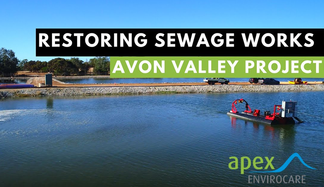
APEX Envirocare provides precise waterway testing and detailed bathymetric mapping to assess water depth, sediment distribution, and overall waterway conditions.
Our comprehensive waterway assessments support the development of proactive maintenance strategies, accurate cost estimations for sediment removal, and effective long-term waterway management.
Using precise surveying techniques, we deliver targeted recommendations for dredging and sediment removal, ensuring minimal disruption to the environment and optimal restoration outcomes.
Using GPS technology, in combination with core samples taken with our GeoPro™ Sludge Determinator, provides contoured profiles of the sediment depth, the lake base and calculated sediment volumes.
Sediment samples can also be taken for polymer analysis and to understand the composition of the water and sediment.
We conduct precise bathymetric surveys to deliver an in-depth analysis of water depth, sediment distribution, and overall waterway conditions.
We generate accurate contour maps that help identify changes in underwater topography, assess sediment accumulation, and support proactive maintenance planning. This data-driven approach ensures effective decision-making for dredging, sediment removal, and long-term waterway management.
At APEX Envirocare, we ensure every survey delivers actionable insights. Our focus on precision, environmental responsibility, and strategic planning enables you to proactively manage sediment challenges before they escalate into costly issues.
This urban lake dredging and desludging in this project in Roslea Estate was commissioned to remedy an odour issue resulting from excess sludge in the lake.
Our approach involved specialist dredge equipment with advanced features designed to handle challenging WWTP conditions.